National Weather Service Text Product
AFOS product FFSFSD
Dates interpreted at 00:00 UTCDisplaying AFOS PIL: FFSFSD
Product Timestamp: 2018-06-25 07:37 UTC
Bulk Download
Bulk Download Help
This bulk download tool provides the NWS text
in a raw form, hopefully directly usable by your processing system.
You can either provide a complete 6-character PIL/AFOS ID or provide
the 3-character base ID (e.g., AFD). The start and end
dates represent 00 UTC for those dates. The Zip format is useful as
the filenames will have the product timestamp, which is useful for
when the product format has ambiguous timestamps.
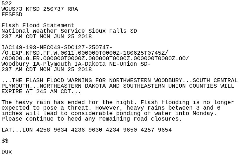
522
WGUS73 KFSD 250737 RRA
FFSFSD

Flash Flood Statement
National Weather Service Sioux Falls SD
237 AM CDT MON JUN 25 2018

IAC149-193-NEC043-SDC127-250747-
/O.EXP.KFSD.FF.W.0011.000000T0000Z-180625T0745Z/
/00000.0.ER.000000T0000Z.000000T0000Z.000000T0000Z.OO/
Woodbury IA-Plymouth IA-Dakota NE-Union SD-
237 AM CDT MON JUN 25 2018

...THE FLASH FLOOD WARNING FOR NORTHWESTERN WOODBURY...SOUTH CENTRAL
PLYMOUTH...NORTHEASTERN DAKOTA AND SOUTHEASTERN UNION COUNTIES WILL
EXPIRE AT 245 AM CDT...

The heavy rain has ended for the night. Flash flooding is no longer
expected to pose a threat. However, heavy rains between 3 and 6
inches will lead to considerable ponding of water into Monday.
Please continue to heed any remaining road closures.

LAT...LON 4258 9634 4236 9630 4234 9650 4257 9654

$$

Dux